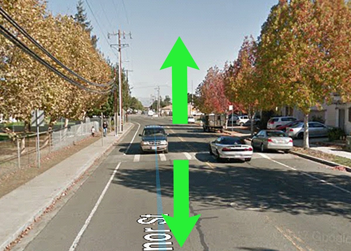
Street View for Google Maps launched 15 years ago, and Google is taking advantage of the anniversary to drop some updates, including a major update to the Street View mapping hardware. The one most people can immediately enjoy, though, is the ability to “go back in time” on Street View using Google Maps for Android or iOS.
Street View for Google Maps
The Street View for Google Maps feature has been available on the web for a while now, but it’s being added to the Maps app for the first time. Accessing this historical data is pretty straightforward: just get into Street View and tap anywhere on the image to pull up details about the location. After that, you’ll find a “see more dates” option that pulls in all other Street View captures for the location.
For those interested in the hardware Google uses to get Street View data, the company is announcing a big update to its camera system. Google says that the new camera (pictured above) has all the resolution and processing capabilities that are in the full Street View car, but it’s a 15-pound device that is “roughly the size of a house cat.” The company hopes this will make it easier to get data from under-mapped areas of the world; one example of such a place Google gave was the Amazon jungle.
New Collections of Imagery
A camera system this small, relatively speaking, will be a lot easier for Google to deploy in more areas — it can be shipped anywhere and mounted to any type of vehicle. As long as it has a roof rack, Google says it’ll be good to go. Google says that historically, it had to create totally new camera systems to fit whatever area they wanted to capture, but the new camera is modular and customizable.
It’ll serve as the “base” system that can be added to should the circumstances require it. For example, Google notes that the new camera doesn’t have the lidar scanners typically found on Street View cars that operate in cities, but they can be added on when they’re needed. Google says that the new camera system is being tested now and expects it’ll fully roll out in 2023.
Finally, Google is adding four new collections of Street View for Google Maps imagery from some pretty noteworthy locales. The Pyramids of Meroë in Sudan, The Duomo in Milan, Les Invalides in Paris and the Sydney Ferries in Australia (the last one is coming later this year). The Duomo in particular shows off the inside of the largest cathedral in Italy as well as the exterior, while there’s a virtual tour available of Les Invalides in Paris. To check these new sites out, visit Google’s blog for direct links.


